Geological surveys mainly include geological mapping, regional geophysical surveys, regional geochemical surveys, and regional hydraulic environmental geological surveys.

Geological survey
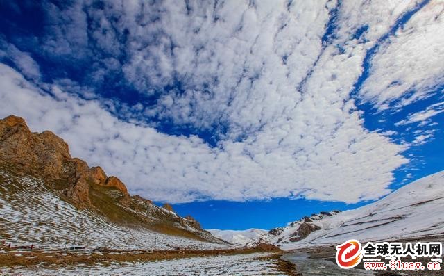
Taking geological mapping as an example, at present, China mainly develops 1:50,000 area mapping. Many of the mapping areas are located in plateau mountains such as the Qinghai-Tibet Plateau. The upper and lower slopes are steep and difficult to work. At this stage, artificial collection of data is mainly used. Most of the time for technicians is to climb mountains, work very inefficiently, and waste a lot of human resources. And there are many places on the Qinghai-Tibet Plateau that are more difficult to reach by 6,000 meters or more.

Qinghai-Tibet Plateau with an altitude of over 6,000 meters
As of 2010, China's regional geological survey has achieved a total coverage of 1:200,000 and 1:25 million small and medium-sized land areas. Since the investigation of land resources, the focus of the 1:50,000 regional geological survey has gradually become important to the country. The metallogenic zone and the important economic zone are inclined.

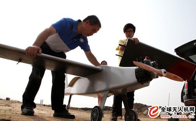
Fixed-wing telemetry drone
UAVs can greatly improve the efficiency of geological surveys, save a lot of technicians' time and energy, and use the time and energy saved for more important scientific research. Moreover, the drone has excellent plasticity and liftability.
The plasticity is mainly reflected in the fact that the drone can be modified according to the requirements of the people. The design of the drone can be adjusted at any time, making it more suitable for the needs of geological surveys. The improvement is mainly due to the development of science and technology, which can continuously improve the unmanned The performance of the machine can also be equipped with more advanced technology equipment.
At present, the application of drones in geological surveys is mainly through aerial photography. The aerial image is interpreted by remote sensing. The geological phenomena are evaluated in detail according to actual requirements. It is required to carry sensors and acquire data in the air.

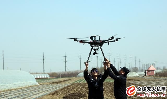
Multi-rotor drone with HD lens
In the next stage, the main objective of UAV aerial survey is to achieve the level of ordinary geological personnel, to achieve close-range data acquisition and sample functions, including recording, photography, sampling and so on. Basically, it can replace the current geological survey personnel to climb the mountain.
With the development of artificial intelligence in the future, even drones can realize functions that ordinary geological personnel cannot achieve. The drone's control level is extremely strong, and the obstacle avoidance and detection capability ensure maximum safety during remote control. With more high-tech precision instruments, you can freely collect the required data and use the big data function to collect the data at any time. The data is analyzed in real time and so on.
Guangzhou Bolei Electronic Technology Co., Ltd. , https://www.nzpal.com